It’s in New Zealand that I got to fly my first and only drone thus far, the DJI Mavic Pro, a marvel of tech!
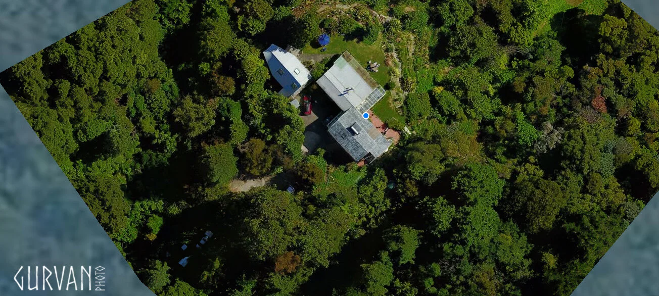
One of land owners I stayed with had a couple massive properties shown below and convinced me to invest and try the drone thing for laying out the land and save tons on surveying work. Turns out some incredible software exists, I used mostly Drone Deploy which allowed to take hundreds of pictures with all the fine tuning I could ask, to stitch and create amazing and precise 3D Maps. Mind blown.
So along my travels I did it for a couple land owners and create also hand drawn maps using the accuracy of the drone imagery to make a garden and food forest map as accurately as can be !